
Killeen Loop Walk’s Map
Name: White Stone Bog Loop
Trailhead / Start Point: Killeen Community Centre
Distance: 7.2 kms
Estimated Time: Approximately 2 hours
Trail Waymarking: Green
Terrain: Country Lanes, & Sandy Stony Paths
Level of Difficulty: Easy
Minimum Gear: Walking Shoes & Raingear
Os Discover Map: Sheet No 37
Starting from Killeen Crossroads, where the Map is located, walk along the right hand side of the road towards Killeen Church.
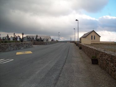
Killeen Village
Holy Family Church Killeen was built in 1897 as a halfway point between Louisburgh & Gowlan Churches.
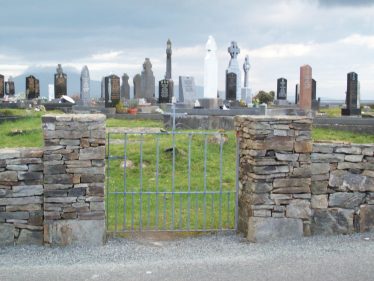
Killeen Graveyard
On your left is Killeen Graveyard which pre-dates the church and contains a prominent standing stone. Next to the Graveyard is Killeen Community Centre, Playschool and public playground.
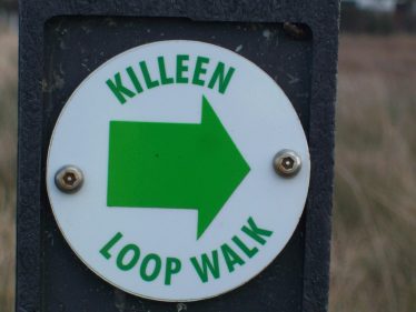
Killeen Loop Walk Sign
As you continue to the 1st marker sign you will see Holy Family National School Killeen on your right. Opened in 1975, it covers a wide catchment area having replaced schools at Killadoon, Thallabawn, Cregganbawn and Carrownisky. The road leading to the school was built as famine relief work and is known locally as Botháir na Gericha.
Stone Bridge at start of Bog Road
Notice the small bridge you cross on the main road as you approach the 2nd marker sign. This is the start of the “Bog Road” or “White Stone” turning off the main road to the right.
Clare Island
Before you enter to your right, take a minute to enjoy the views of Roonith & Clare Island on your left.
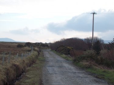
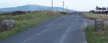
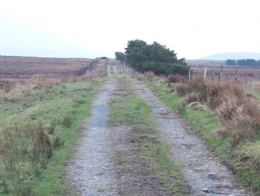
Bog Road Entrance
This is the start of the Bog Road, continue straight on the road unless the marker sign points otherwise.
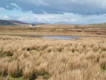
Louch Laraha
As you pass a small shed on your left take note of Lough Laraha.
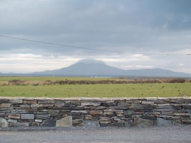
Croagh Patrick
On your left is Croagh Patrick, straight ahead is the Delphi Valley, on your right is Aillemore hill. The view stretches all the way down Killadoon to the Atlantic. On a clear day you can see the Ocean Lodge Hotel Killadoon, and Clare Island with Achill behind it.
Pine Trees Along Walk
As you pass a line of pine trees on your right, look to your left and admire the remains of tree stumps exposed by the bog land. Straight ahead in the distance is Duggan Forest, with a tall signal mast visible on the left side of the hill.
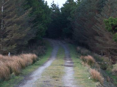
Pine Forest
At the T-junction turn right and pass a line of pine trees on your left. You will now be walking down to a wooded area with trees on both sides of the road. As you leave the trees on your right are green fields, Clare Island and the view of the Atlantic Ocean.
Narrow Bridge
Now cross a small river on a narrow bridge.
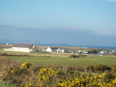
Church and surrounding countryside viewed from Feenone
As the Bog Road meets the main road turn right and follow the road enjoying the views of Clare Island as Killeen Church comes back into view.

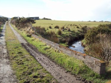
Bunleemshough River
Continue along the road passing the right turn towards Holy Family National School. The bridge passes over the Bunleemshough river and the road sweeps right towards the crossroads at Killeen. You have now completed the Bog Road loop walk.
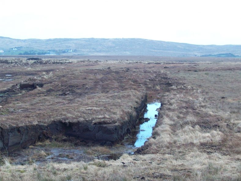
Blanket Bogs
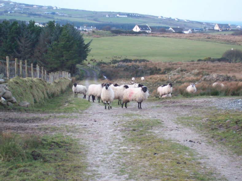
You Never Know Who You Might Meet On Your Walk!
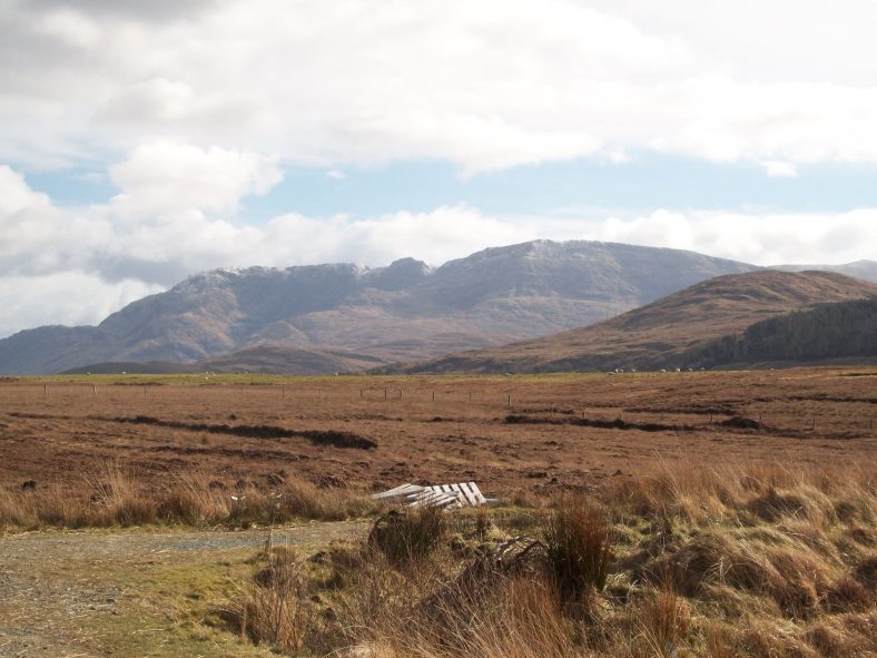
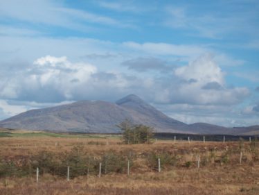
Mweelrea Mountain
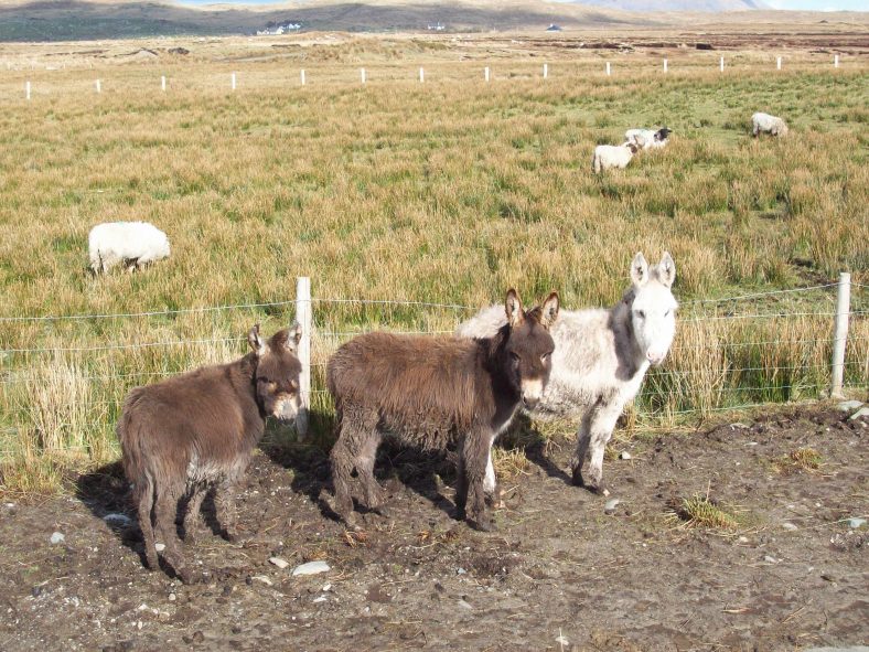
Friendly Faces!


Comments about this page
Really good. It’s a great walk with loads of lovely scenery.
Add a comment about this page